


Tuesday, August 28, 2012
Monday, August 20, 2012
Palm Springs Aerial Tramway

The Palm Springs Aerial Tramway. or how to get from palm trees and sage brush to a mixed conifer forest in ten minutes. Ride the revolving tram car 2 1/2 miles up Chino Canyon, from the valley station at 2643' to the mountain station at 8516'.

Outside the mountain station, Palm Springs some 8500' below.
Temperature can be 25 to as much as 40 degrees cooler between stations.

The North Palm Springs Wind Farm is a large collection of electricity-producing windmills that stretches from the desert floor up to the hills surrounding the Banning Pass, a place where the wind blows 300 days a year. This Wind Farm produces enough electricity to power up the entire Palm Springs Area. The windmills are easily visible on both sides of the Interstate 10 as you're driving through Banning Pass.
 |
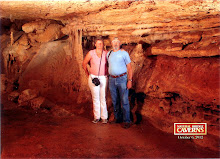
| Outside Long Valley Ranger Station, about a half mile west of the Mountain Station. |


Tuesday, August 14, 2012
Salton Sea
 |
| Picnic area and parking lot at Salton Sea Visitor Center. Salton Sea and Mount San Jacinto in back ground. |
Salton Sea, man made, accident, natural
lake, or part of the Gulf of California? Marginal or major
ecological and economic resource? Toxic dump?
 |
| Deck behind visitor center. |
A bit of history. During the
Pleistocene glacial age (2.5 million to 1200 years ago.) the Colorado
River worked to build its delta. The Colorado River delta formed the
Salton Sink, the area were the Salton Sea is now located. So, yes,
the Salton sea was the norther reach of the Gulf of California.
 |
| A pair of Black-necked Stilts near the visitor center. |
As the Colorado River changed course over thousands of years the Salton Sink has dried up and filled with
water, dried up and filled with water repeatedly. For hundreds of
years at a time it would alternated between desert and lake.
 |
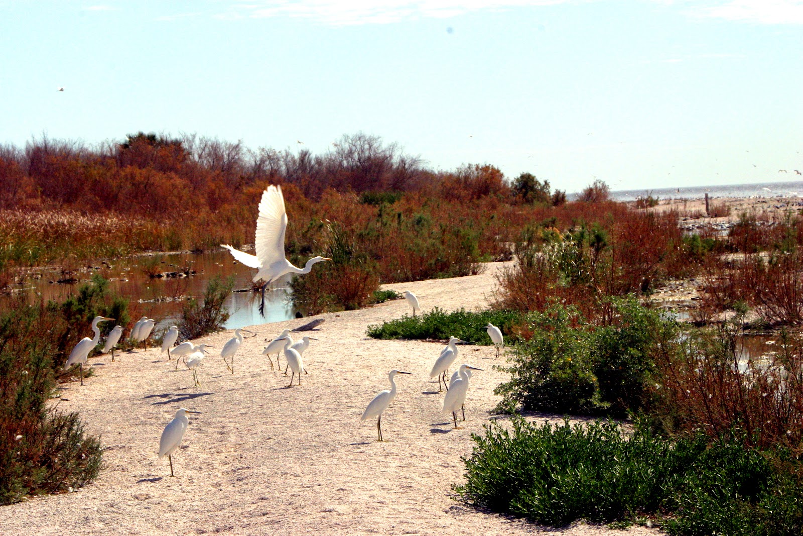
| A variety of Egrets, Great, Snowy, and Cattle. |
In 1901 the Imperial canal was built to bring water from the Colorado River to the Imperial Valley. By 1904 silt had blocked the canal preventing it from supplying water to the Valley. In 1905 a temporary diversion of the Colorado River was constructed to replace water from the blocked canal. This was breached by floodwater's changing the course of the river and flowing into the Salton Sink. Floodwater's continued to fill the Salton Sea until February 1907 when the Southern Pacific Railroad closed the river breach.
 |
| Pelican |
OK, originally part of the Gulf of
California cut off by Colorado River Delta. A natural lake created
by Colorado River floodwater's. A man made lake caused by an accident
due to floodwater's. That covers the type of lake, but what sustains
the lake and were dose the salt and other pollutants come from.

The largest industry in the area is agricultural, 48% of all employment in Imperial county is related to agricultural. The average annual rainfall is 3 inches per year. The water distribution system includes over 1,400 miles of canal and 1,100 , miles of pipeline. The Imperial Irrigation District Annual Inventory of Areas
Receiving Water at 498,821 acres of crops. Agricultural runoff is the major source of salt and other pollutants.

The Salton Sea provides vital habitat for more than 380 species of birds. It is a lake twenty-five percent saltier than the ocean yet teeming with fish. The sea has a productive ecosystem marred by frequent fish and bird die-offs. These contrasts mark the challenges faced by federal/state strategy for restoring the Salton Sea.
 |
Since the mid-1960's federal, state, and local entities have done studies and developed plans to improve water quality, stabilize water elevation, and enhance recreational and economic development potential of the Sea. Today the beaches are littered with dead fish, you see no boats on the lake, and only a few curious tourists travel around the lake.

Subscribe to:
Posts (Atom)